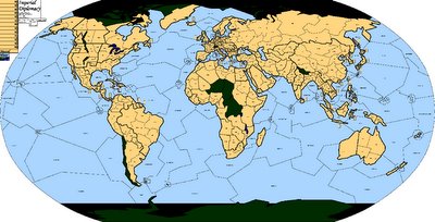
The third map wins!

We are using the third map of the ones listed below. Here is a thumbnail of the larger map I've got in which I've blanked out all the national borders of the map. Keep in mind that there are some map-specific rules listed here. Most of it is pretty intuitive, but please take care to note that the map is, naturally, wraparound (the ocean territories on either side of the "board" are the same territory as the ones of identical name on the opposite side) and also note the non-intuitive, non-standard Bosphorous rule mentioned on the linked site.
I'm sure that's going to trip somebody up at some point.
Is anybody going to have a problem with there not being canals in Panama and/or Egypt?
Soon I will post a more finalized, precise list of rule changes and outline the some PBEM procedure. But in the meantime, please consider what your nation's name and flag will be.

1 Comments:
What do you mean no canals?!? Sailing around South America is *such* a drag.
OK, I don't really care, but am curious as to why you don't want them.
Post a Comment
<< Home